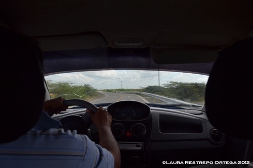
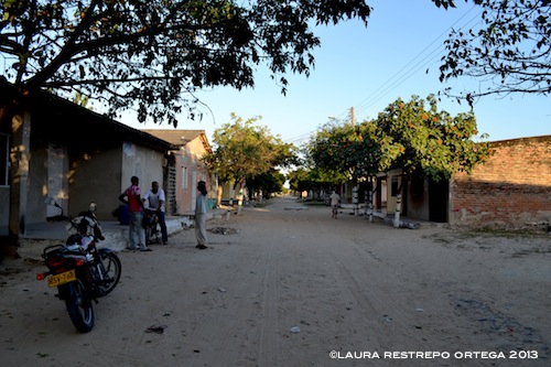
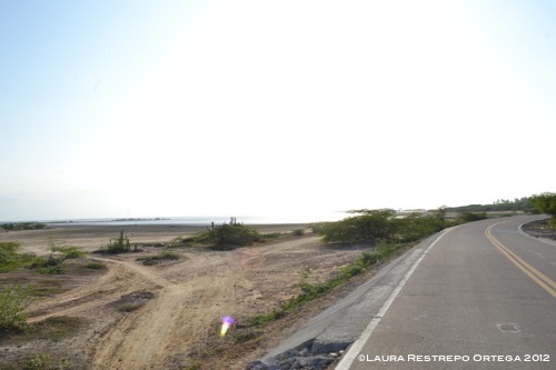
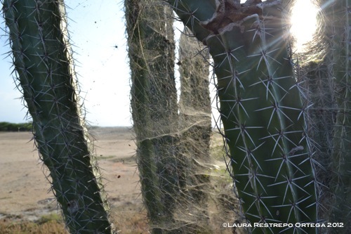
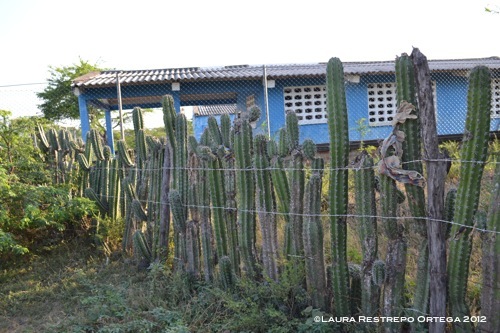
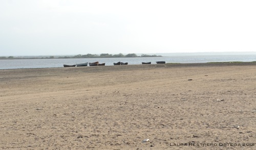
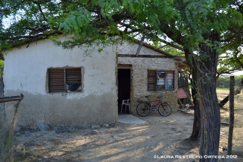
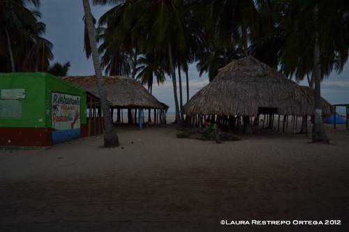
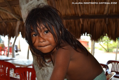
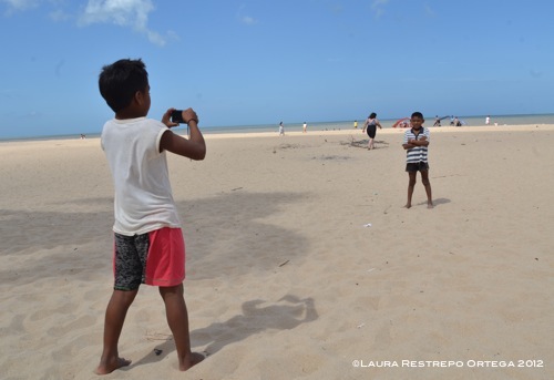
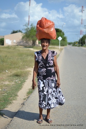
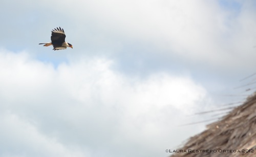
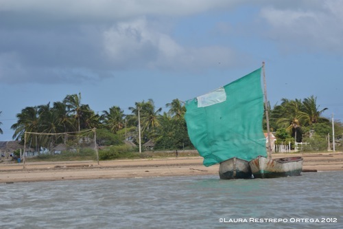
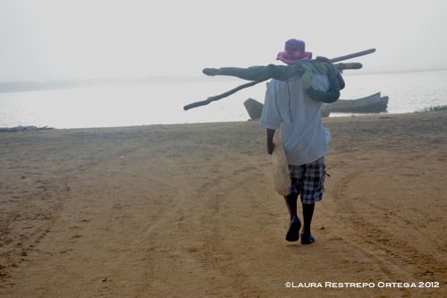
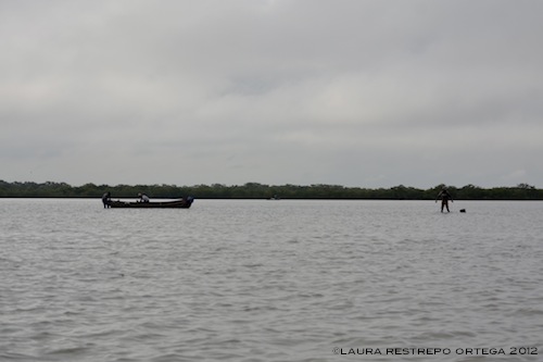
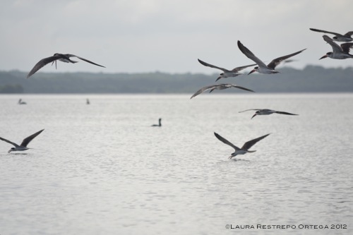
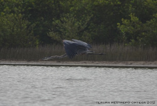
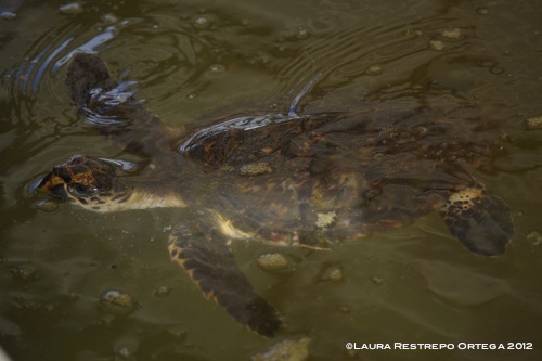
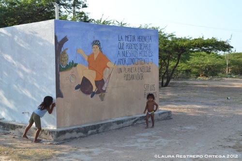
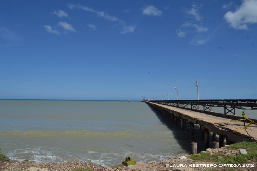
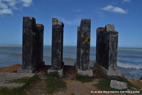
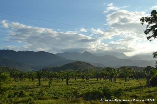
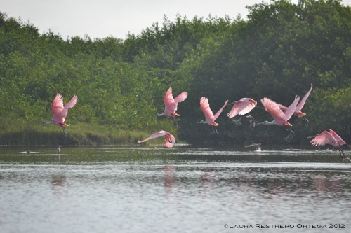
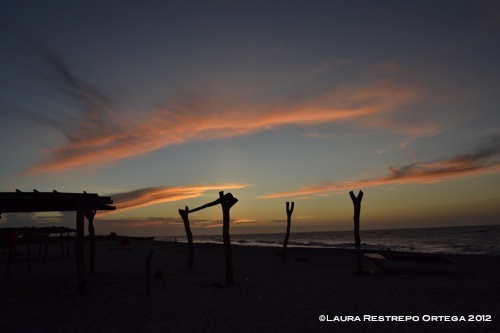
Continuando nuestro recorrido por Colombia, vamos al norte del país, a la península de la Guajira, departamento desértico que sobresale en el mar Caribe, y fronterizo con Venezuela. Aquí veremos al municipio de Camarones y la comunidad indígena Loma Fresca, situados en el santuario de flora y fauna (SFF) Los Flamencos, las playas de Mayapo cerca a la capital, Riohacha y las minas de sal de Manaure, carcanas a Uribia, capital indígena de Colombia.
/
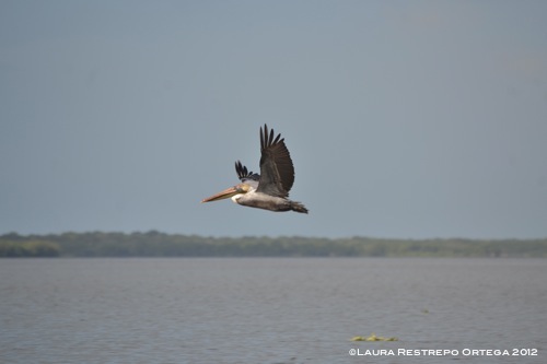
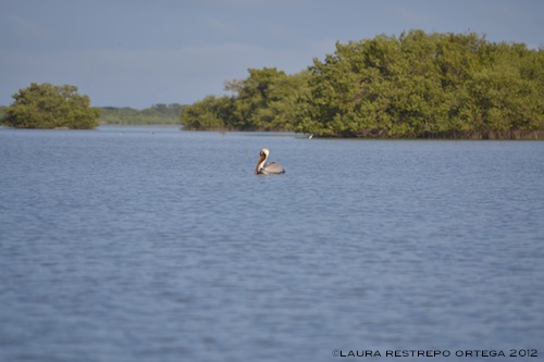
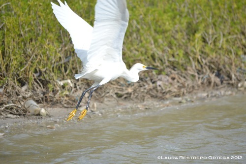
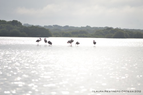
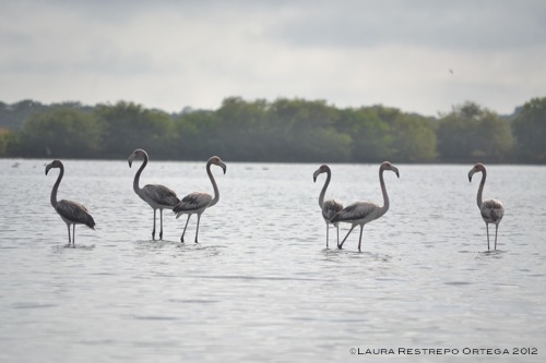
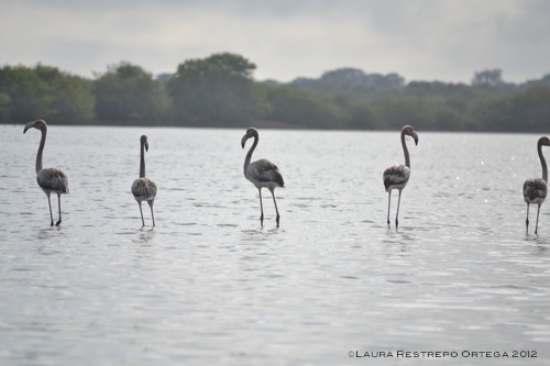
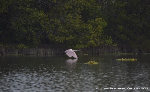
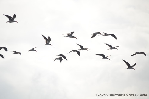
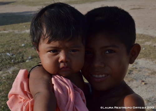
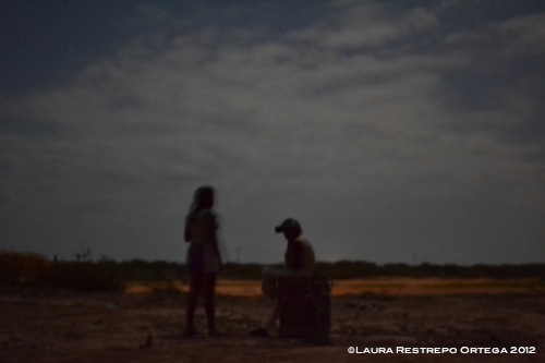
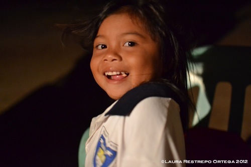
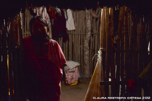
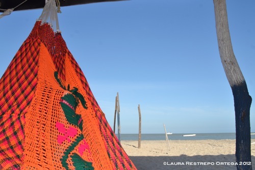
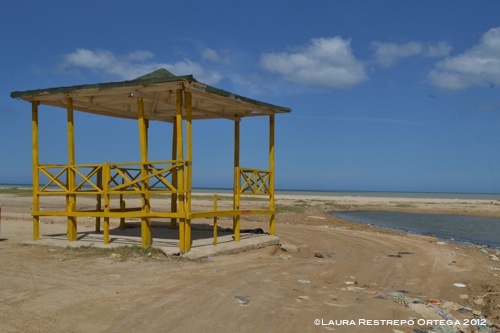
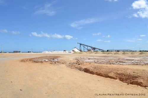
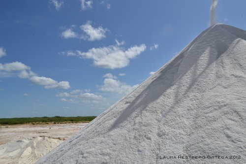
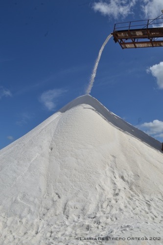
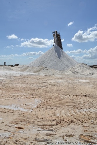
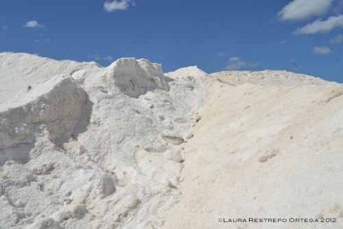
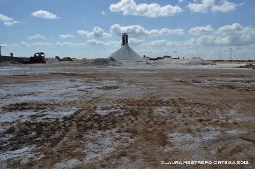
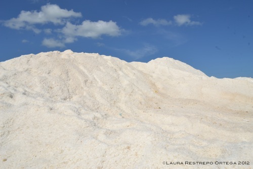
Continuing our journey through Colombia, we head north, to the Guajira peninsula, a deserted province that juts out into the Caribbean sea and borders Venezuela. We will see the municipality of Camarones (literally “shrimp”) and the indigenous community of Loma Fresca (Fresh Hill), both located in the sanctuary of flora and fauna The Flamingos, and the beaches of Mayapo near the state capital, Riohacha. We will then continue north towards the salt mines of Manaure, located near Uribia, indigenous capital of Colombia.
CAMARONES & LOS FLAMENCOS • LOMA FRESCA • MAYAPO & MANAURE